Euroregion Elbe/Labe

Geological map in Zahrady

Geological relief map of the region from 1937, from the respective local rocks, in a private garden

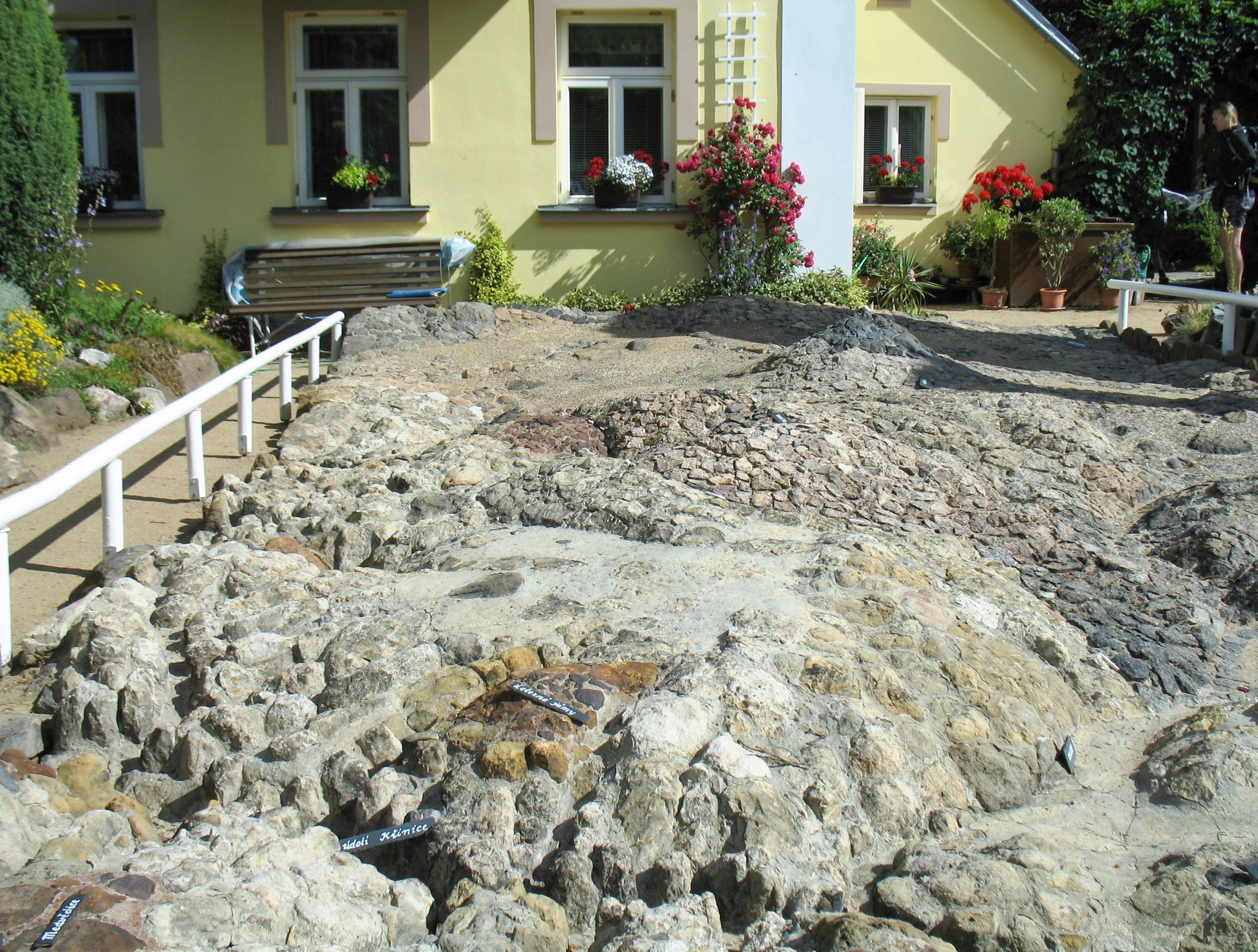
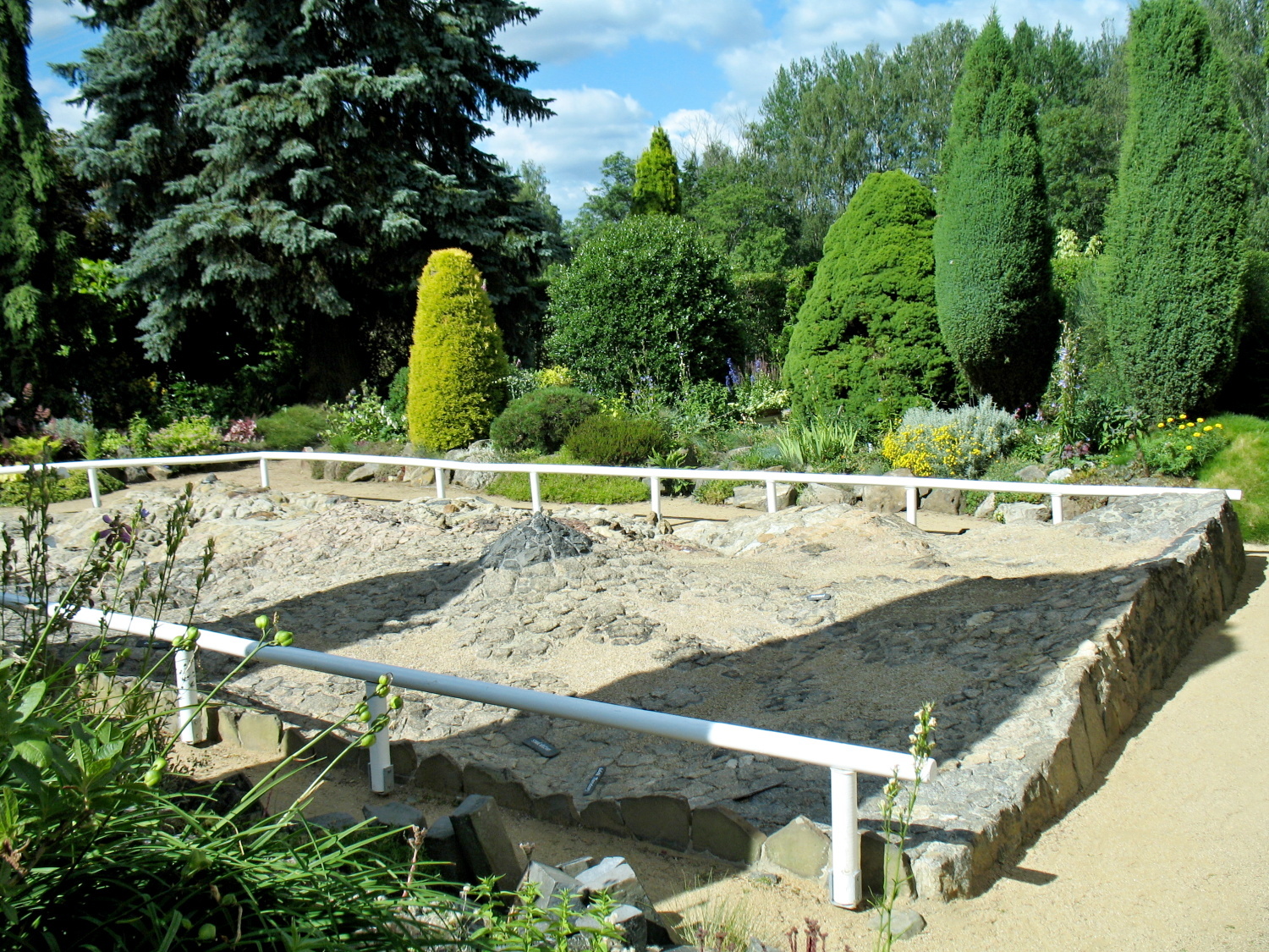
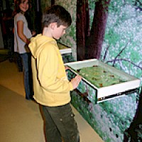
Rudolf Kögler laid out this probably unique geological relief map (including the surrounding rock garden) in his own garden between 1931 and 1937. The map shows the region around the neighboring Vlčí Hora (Wolfsberg) in relief on approx. 50 m², consisting of the rocks occurring in each of the locations shown.

Rudolf Kögler was actually a textile designer, but primarily an amateur natural scientist. In addition to the relief map, he also laid out the first nature trail in Bohemia in 1941, which begins very close by. Today a granddaughter of Rudolf Kögler leads through the relief garden.

(This is an automatic translation by Google Translator.)

Address

Zahrady 30
407 47 Krásná Lípa

Contact

Tel: +420 412 331 171

emailEmail

Opening hours

May-September

Mon-Thu, Sun 8 a.m. to 5 p.m.

Registration at the Infocentrum Rumburk (see contact)

(This is an automatic translation by Google Translator.)

Offers

Restaurant 250 m away

(This is an automatic translation by Google Translator.)

Arrival

From Zahrady train station to Rumburka directions_railway directions_bus it is only 500 m to the destination.

The bus stop "Krásná Lípa, Vlčí Hora, VÚ" directions_railway directions_bus is also approx. 500 m away.

(This is an automatic translation by Google Translator.)

ProCache: v401 Render date: 2024-03-23 22:30:37 Page render time: 0.9068s Total w/ProCache: 0.9091s